Warmer Winters = Changing Maps for Gardeners.
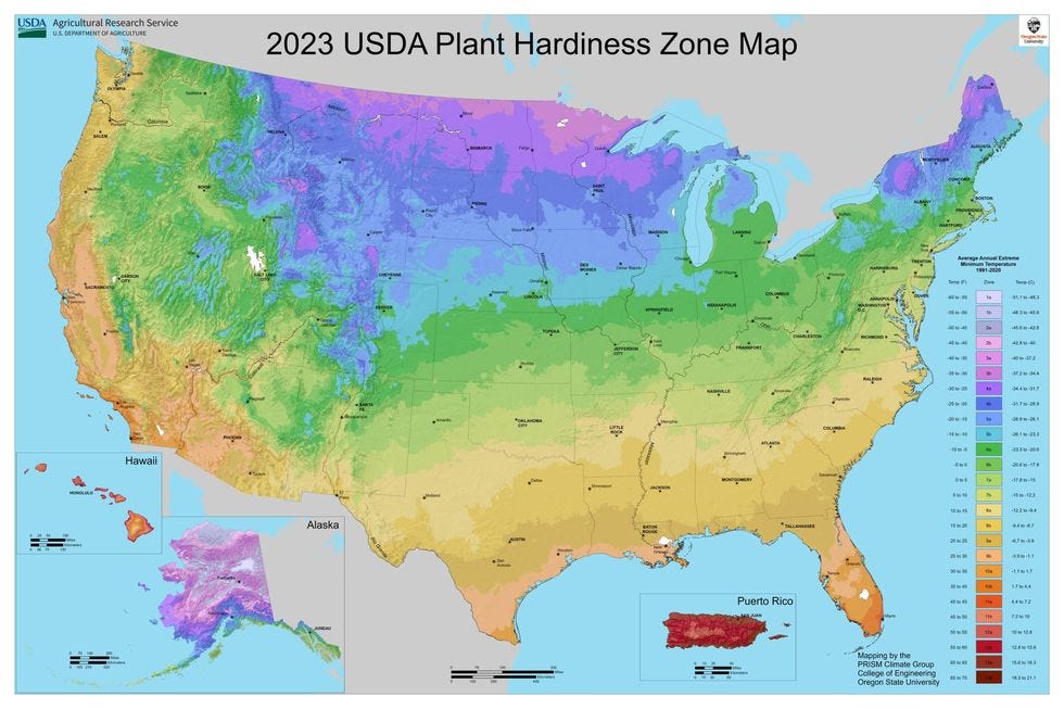
The 2024 USDA Plant Hardiness Zone Map documents a rapidly changing climate in many parts of the country.
Among a gardener’s many tools, amidst the spades and hoes and countless trays, is the U.S. Department of Agriculture’s (USDA) Plant Hardiness Zone Map. The most recent edition was released recently, along with some important analysis from NPR.
The NPR mapping tool allows you to enter your hometown (or any town or city) to understand how your local climate has changed since 2012. The Plant Hardiness Zone map is determined by average low temperatures in winter. When a plant zone changes, in this case, that’s because winters are getting much warmer over large parts of the country.
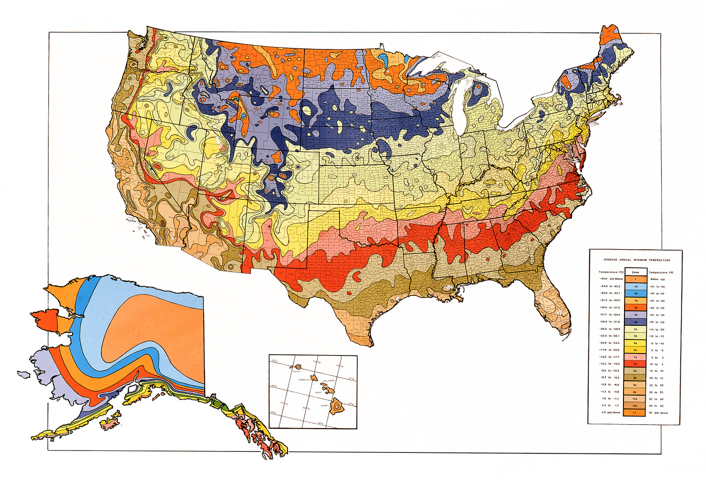
Bates County, Missouri, for instance, has changed from zone 6a in 2012 to 6b today. During that period, the average low winter temperature has increased by 3.3 degrees fahrenheit. When I started gardening in Missouri in the late 1990s, we were in zone 5b. In other words, Bates Countians are now gardening today as if they lived in Fayetteville, Arkansas, in 1990. Fayetteville is 182 miles south of Bates County.
The 1990 Census Map.
The hardiness zones are important because they map the likelihood of perennial plants living through cold snaps in winter. The higher the number in the scale equates to lower average low winter temperatures—zone 9a is much warmer in winter than zone 4a.
To see your hardiness zone, and to see whether your winters are getting warmer, visit HERE.
The Cocklebur covers rural policy and politics from a progressive point-of-view. Our work focuses on a tangled rural political reality of dishonest debate, economic and racial disparities, corporate power over our democracy, and disinformation peddled by conservative media outlets. We aim to use facts, data, and science to inform our point-of-view. We wear our complicated love/WTF relationship with rural America on our sleeve.


